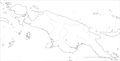
New Guinea is located in the Souhtwest Pacific, it is the second largest island on the Earth.
The island is shared by Indonesia (occupying the western part) and Papua New Guinea (eastern part), the two parts being roughly equal in area.
New Guinea is surrounded by the Pacific Ocean on the north, the Solomon Sea on the east, the Arafura Sea and Coral Sea on the south, and the Indonesian Archipelago and its seas on the west.
New Guinea map
Physical map and geographical features of the Island of New Guinea
Click on above map to view higher resolution image
Other maps of New Guinea

Related maps
Physical map of Papua New Guinea
Other Island maps
Customized New Guinea maps
Could not find what you're looking for? Need a customized New Guinea map? We can create the map for you!Crop a region, add/remove features, change shape, different projections, adjust colors, even add your locations!


