Madagascar Physical Map
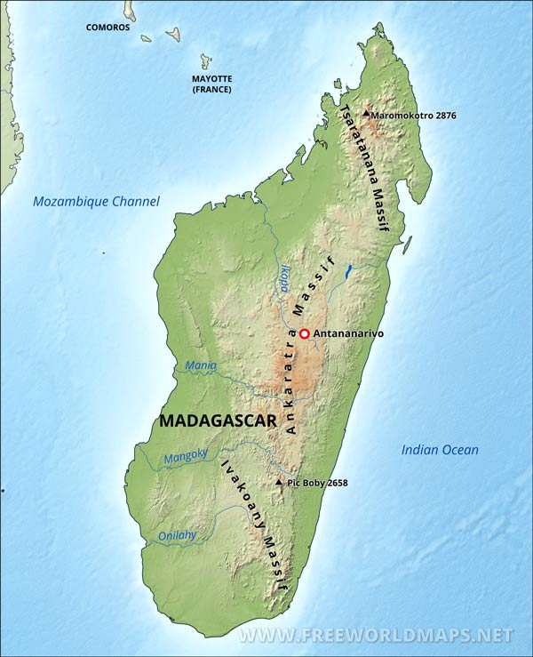
Physical map of Madagascar, equirectangular projection
Click on above map to view higher resolution image
Madagascar physical features
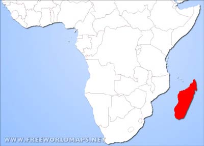
The Republic of Madagascar is locates in Eastern Africa, consisting of the world's fourth largest island and some smaller islands in the Indian Ocean.
Madagasgar has a coastal plain, high plateau, and mountains. Major rivers include the Betsiboka, Onilahy, Mangoky and Tsiribihina.
The east coast of Madagascar has lowlands leading to steep bluffs and central highlands. The Tsaratanana Massif in the north has volcanic mountains. The west coast has many protected harbors and broad plains, while the southwest is a plateau and desert region.
The largest city and capital is Antananarivo.
Other important cities are Antsirabe, Mahajanga and Toamasina.
Highest peak is the Maromokotro reaching 2876 meters above sea level.
Other maps of Madagascar
Customized Madagascar maps
Could not find what you're looking for? Need a special Madagascar map? We can create the map for you!Crop a region, add/remove features, change shape, different projections, adjust colors, even add your locations!


