Limpopo map

Physical Map of Limpopo, province of South African Republic
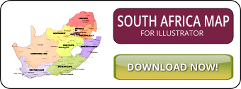
Click on above map to view higher resolution image
Physical features of Limpopo
Cities: Barberton, Brits, Bronkhorstspruit, Cullinan, Duiwelskloof, Ekangala, Giyani, Lebowakgomo, Louis Trichardt, Messina, Middelburg, Midrand, Mmabatho, Nkowakowa, Nylstroom, Phalaborwa, Potgietersrus, Pretoria, Rustenburg, Tembisa, Thohoyandou, Verwoerdburg, Warmbad, Witbank, Polokwane (Pietersburg)
Rivers: Mogalakwena, Limpopo, Crocodile River, Olifants River, Letaba, Palale, Mokolo, Sand River, Brak River, Ga Selati, Hout River, Levubu, Marico, Nwanedzi, Nzhelele, Shingwezdi
Bordering countries, provinces: GAUTENG, NORTHWEST, MPUMALANGA, BOTSWANA, ZIMBABWE, MOZAMBIQUE
Mountains: Blouberg, Drakensberg, Lebombo Mountains, Soutpansberg, Waterberg, Wolkberg
Other maps of Limpopo


Customized Limpopo maps
Could not find what you're looking for? Need a customized Limpopo map? We can create the map for you!Crop a region, add/remove features, change shape, different projections, adjust colors, even add your locations!