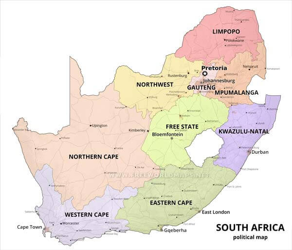
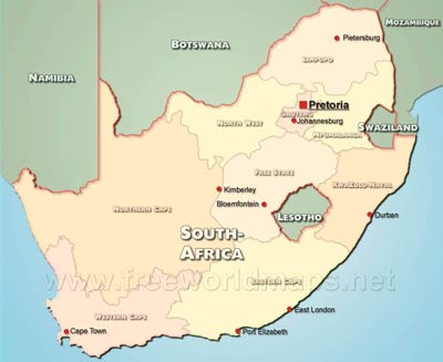
Detailed HD map of South Africa

South Africa map editable

HD map of South Africa

Click on above map to view higher resolution image

This HD South Africa map is also available in editable vector graphics format (svg, ai). By purchasing this package you get a high resolution image, without watermark, image size is 4500 x 4016 pixels. The size and resolution of the map makes it possible to print in most common print sizes, including A/4, A/3 or even A/2. The package also contains layered vector files, that enables you to change the map according to your needs. You can display/hide the layers, adjust text styles etc. An appropriate vector graphics editor application is needed to edit the files, for example Inscape or Adobe Illustrator.
  • Totally editable in Adobe Illustrator, Inkscape or compatible vector graphics applications.
  • Layered AI and svg files included for easy adjustments
  • Objects are layered
  • Ready to Use and Royalty-Free
  • Immediate download after payment.
  • Separate layers for: provinces of South Africa, borders, state labels, major cities of South Africa in four different levels, city labels, major road network of South Africa
"Old price: $39.99
New price: $19.99
You save $20.00

What does this package contain?

You get this HD South Africa map in three different file formats:

  • A bitmap file in jpg format, 4500 x 4016 pixel in size
  • A layered SVG file for use with Inkscape
  • An Adobe Illustrator compatible AI file

Other South Africa maps

South Africa political map
South Africa physical map
South Africa location map
Where is South Africa located? Map showing the location of South Africa on the globe.

Customized South Africa maps

Could not find what you're looking for? Need a customized South Africa map? We can create the map for you!
Crop a region, add/remove features, change shape, different projections, adjust colors, even add your locations!
Custom map services
World map illustrator
US map illustrator SVG