Syria Physical Map
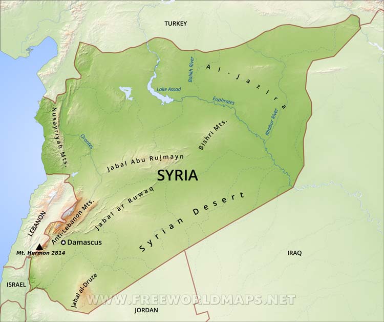
Physical map of Syria, equirectangular projection
Click on above map to view higher resolution image
Syria physical features
Syria is a country in Southwest Asia, bordering the Mediterranean Sea, between Lebanon and Turkey.
Syria's terrain is mainly plateau with mountains in the west. The Syrian Desert is in the east. There is a narrow Mediterranean coastal plain. Syria's main rivers are the Euphrates and the Orontes.
Damascus is Syria's capital city. Other important cities are Aleppo, Hama, Homs and Lattakia.
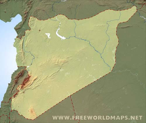
Blank relief map of Syria including topography and rivers
Click on above map to view higher resolution image
Other maps of Syria
Customized Syria maps
Could not find what you're looking for? Need a special Syria map? We can create the map for you!Crop a region, add/remove features, change shape, different projections, adjust colors, even add your locations!


