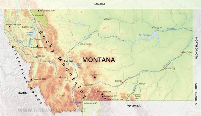
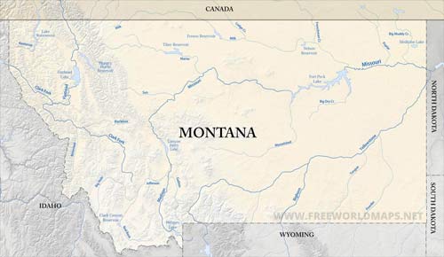
Montana is located in the northwestern part of the United States.
Montana is bordered by Canada on the north and by the other US states of Idaho on the west, Wyoming on the south, North and South Dakota on the east.
The continental Divide splits the state into two differnt regions, the ranges of Rocky Mountains (Bitterroot Mountains, Lewis Range, Absaroka Range, Crazy Mountains, Big Belt Mountains, Little Belt Mountains...) in the west, whose highest peak is the Granite Peak at 3901 meters, and the Great Plain to the east.
The capital of Montana is Helena, the largest city is Billings. Other important cities are Havre, Glasgow, Glendive, Great Falls, Miles City, Bozeman, Kalispell and Missoula.
The main rivers flowing through Montana are the Missouri (with Fort Peck Lake), Yellowstone River, Bighorn River, Milk River.
Physical map of Montana
Physical map of Montana, equirectangular projection
Click on above map to view higher resolution image
Physical features of Montana
Other maps of Montana
Check our other maps of the state of Montana
Customized Montana maps
Could not find what you're looking for? Need a customized Montana map? We can create the map for you!Crop a region, add/remove features, change shape, different projections, adjust colors, even add your locations!


