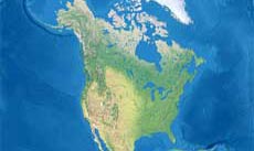
Diomede Islands map

Map of Diomede Islands
The Diomede Islands consists of two islands lying in the Bering Strait between Alaska and Siberia, betwwen the Chukchi
and the Seward Peninsula.
The island of Little Diomede belongs to the U.S., while the island of Big Diomede is a part of Russia.

Physical map of the Diomede Islands and the surrounding area, showing the main geographical features of the region.
Related maps
Customized Diomede Islands maps
Could not find what you're looking for? Need a customized Diomede Islands map? We can create the map for you!Crop a region, add/remove features, change shape, different projections, adjust colors, even add your locations!


