Bhutan Physical Map
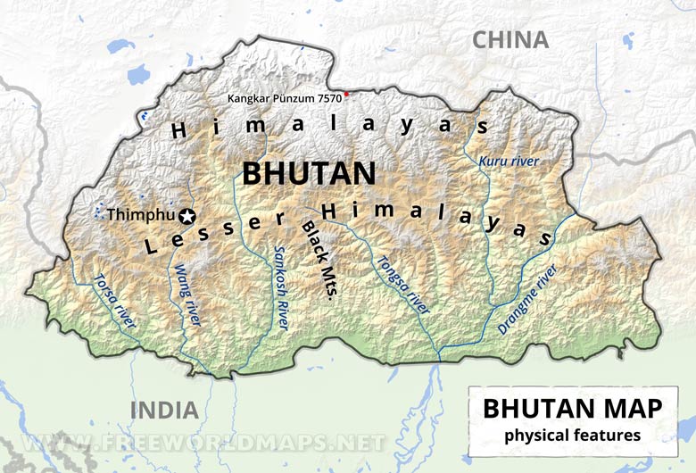
Physical map of Bhutan, equirectangular projection
Click on above map to view higher resolution image
Bhutan physical features
Bhutan is situated in the eastern Himalayas and is mostly mountainous and heavily forested.
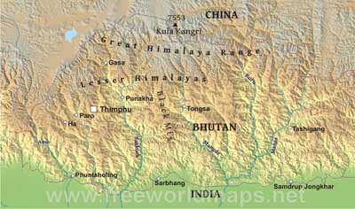
In the north, the snowcapped Great Himalayan Range reaches heights of over 7,500 meters above sea level and extends along the Bhutan-China border. The highest point is claimed to be the Kula Kangri, at 7553 m. The northern region consists of an arc of glaciated mountain peaks with an arctic climate at the highest elevations.
The Lesser Himalayas are southward spurs of the Great Himayalan Range.
Peaks in the Black Mountains range between 1500 meters and 2700 meters above sea level.
The capital of Thimphu lies in the western region. The region is characterized by its many rivers flowing into India's Brahmaputra.
The extreme southern strip of the nation consists mostly of tropical plains, more typical of India.
Other maps of Bhutan
Customized Bhutan maps
Could not find what you're looking for? Need a special Bhutan map? We can create the map for you!Crop a region, add/remove features, change shape, different projections, adjust colors, even add your locations!


