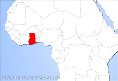
Ghana lies in West Africa, on the Gulf of Guinea.
The country is mainly flat with a hilly coastal plain.
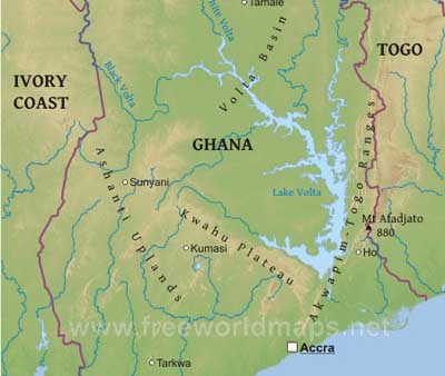
The River Volta is Ghana's longest river. The Akosombo hydroelectric dam, built in 1964, created Lake Volta, one of the world's largest artificial lakes.
Low plains stretch across the southern part of the country. To their north lie three regions the Ashanti Uplands, the Akwapim-Togo Ranges, and the Volta Basin. The fifth region, the high plains, occupies the northern and northwestern sector of the country.
Highest point is Mount Afadjato rising 880 meters above sea level.
Accra is the capital city. Other important places are Takoradi, Kumasi and Tamale.
Ghana Physical Map
Physical map of Ghana, equirectangular projection
Click on above map to view higher resolution image
Ghana physical features
Other maps of Ghana
Customized Ghana maps
Could not find what you're looking for? Need a special Ghana map? We can create the map for you!Crop a region, add/remove features, change shape, different projections, adjust colors, even add your locations!


