Egypt Egypt is located in the north east of the African continent and stretches across the Gulf of Suez.
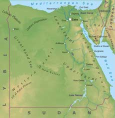
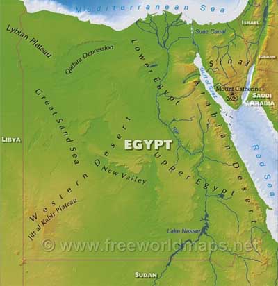
About ninety per cent of the country is desert: the Western Desert, a continuation of the Sahara Desert and the Eastern Desert. The deserts are separated by the Nile which flows from the Sudan and through the length of Egypt to the Mediterranean Sea. The remainder of the country consists of the Nile Valley Delta and Sinai.Mount Catherine (Jabal Katrinah) is the country's highest point at 2629 meters above sea level.
The capital city is Cairo. Other important cities are Alexandria, Aswan and Luxor.
Egypt Physical Map
Physical map of Egypt, equirectangular projection
Click on above map to view higher resolution image
Egypt physical features
Other maps of Egypt
Customized Egypt maps
Could not find what you're looking for? Need a special Egypt map? We can create the map for you!Crop a region, add/remove features, change shape, different projections, adjust colors, even add your locations!


