Free Middle East Maps
Physical map of the Middle East
Showing rivers, country borders, and populated places of the Middle East
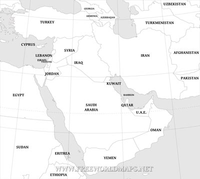
Black & white Middle East map
Middle East map in a black&white style.
Containing countries, coastline, country labels, 10 degree graticule of the Middle East region.
Simple jpg format.
Click on image to view higher resolution.
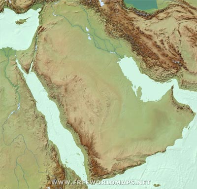
Blank physical map of the Middle East
Showing only the terrain, relief with rivers
Available in JPG format
Physical map of the Middle East
Hypsometric terrain relief
Available in JPG format
Basic map of the Middle East
Showing the countries of the Middle East in a simplified version
Available in JPG format
Other Middle East maps
Customized Middle East maps
Could not find what you're looking for? We can create the map for you!Crop a region, add/remove features, change shape, different projections, adjust colors, even add your locations!


