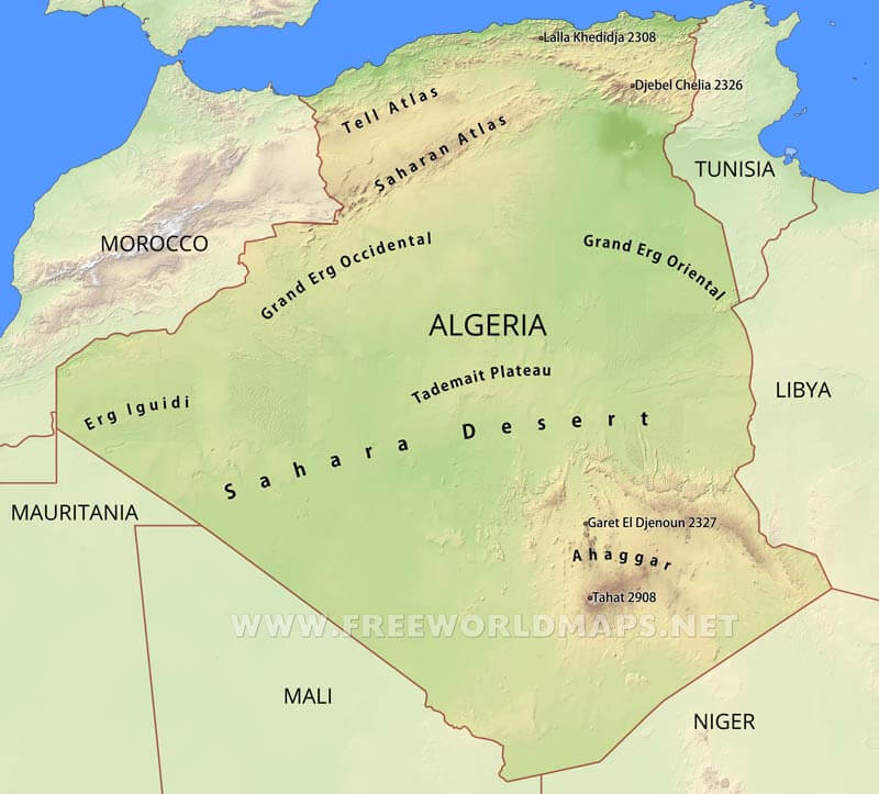
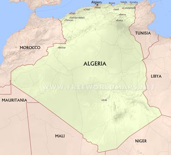
The biggest country of Africa is situated on the northwestern section of the continent. Its northern border coincides with the shoreline of the Mediterranean Sea. The very narrow strip of coastal lowlands separate the Mediterranean from the parallel chains of the Atlas Mountains. On the other side of these ranges, behind the southern slopes, the vast Sahara Desert takes up most of the country's territory.
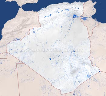
The two main range of the Atlas Mountains are the Tell Atlas and the Saharan Atlas. The first one is the northern one of the two, and they are separated by the Berber Upland characterized by many salt lakes.
The Sahara is not really homogeneous, but consists of many diverse areas. The northern part is rather sandy, for example the Erg Iguidi in the west, or the Grand Ergs. The Tademait Plateau, which is located at the center of the country, is a higher elevated, extremely dry and hot rocky plateau.
Further down to the south, the Ahaggar mountains lie in the southeastern parts of the Sahara, which is the highest elevated spot on Algeria map, with its most prominent peak, Mount Tahat just above 2900 meters.


