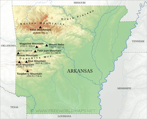
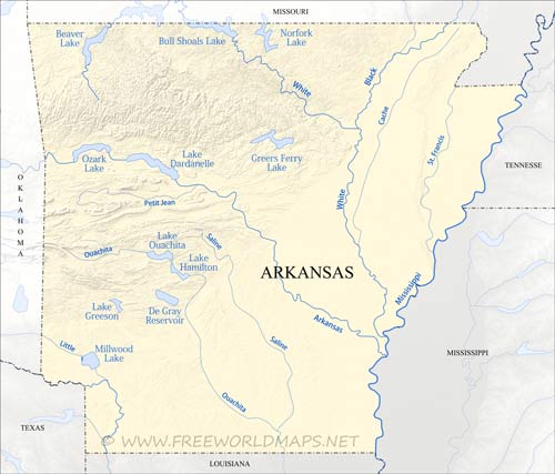
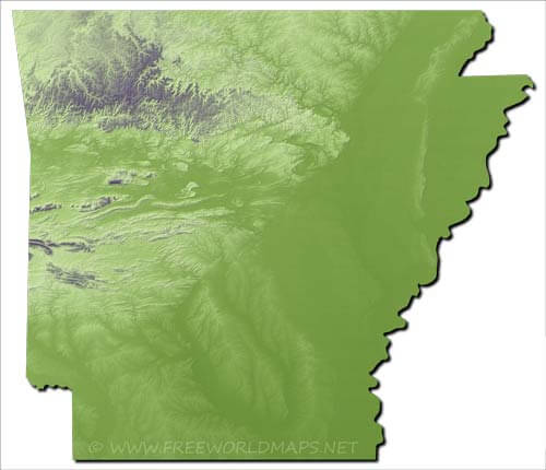
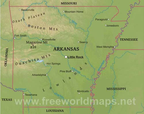
Arkansas is located in the southern central part of the United States. The Mississippi river flows by the eastern edge of the state, being fed by the White river, Arkansas river, Ouachita river from the west.
The Ozark Plateau occupies the north western part of the state, with the Boston Mountains stretching between the valleys of the White and the Arkansas rivers. The Ouachita mountains lie further to the south. Highest peak is Magazine Mount at 839 meters above sea level.
Physical map of Arkansas
Physical map of Arkansas, mountains, lakes, rivers and other features of Arkansas
Click on above map to view higher resolution image
Physical features of Arkansas
Other maps of Arkansas
Check our other maps of the state of Arkansas
Customized Arkansas maps
Could not find what you're looking for? Need a customized Arkansas map? We can create the map for you!Crop a region, add/remove features, change shape, different projections, adjust colors, even add your locations!


