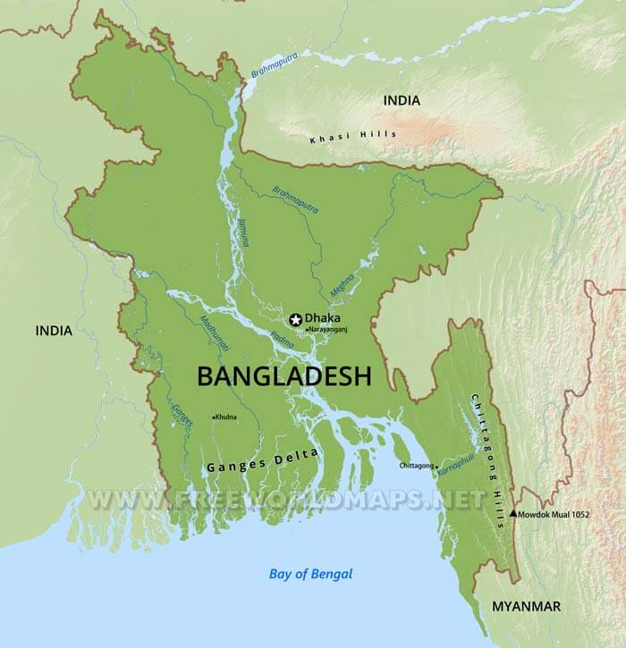
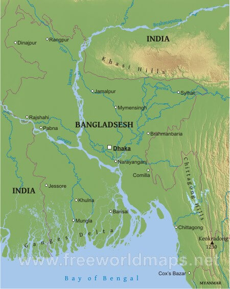
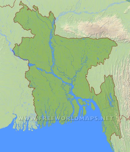
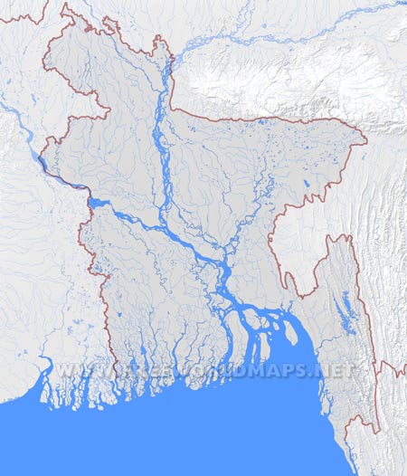
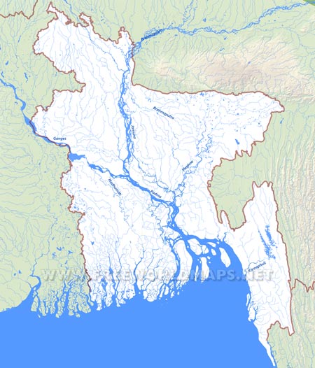
Bangladesh, a south Asian country that has a plenty of geographical features inside it. She is becoming a great valuable subject for both the travelers and habitants. To get a brief overview on it, the most appropriate way is to visit the country. Let’s find out some of the great Bangladesh geography here.
Firstly, the tropical climate of the country has given her a greenish look. If you see her from sky, there is river in every region. The rivers allow her to become an agricultural country. This is the reason that the occupation of half of the population is related with farming.
The variation of her weather has divided twelve months into six seasons. They are summer, rainy season, autumn, late autumn, winter and spring. Though there are six seasons, mostly summer and winter season stay longer than the others. Rainy season is also a major season. This amazing variety of the seasons has gifted Bangladesh different landscapes in every corner.
Northern side of Bangladesh map is totally green. The Modhupur-Vawal forest is the national park of the country. The main tree of the park is Shorea robusta, a tall tree which becomes a skeleton in late winter.
The Cox’s Bazar Sea Beach covers the maximum part of the south of the country. This part of Bangladesh map is the longest sea beach in the world. The more you walk, the more you can discover this amazing Bangladesh geography feature. The Bay of Bengal throws almost every drop of water on the bank of Cox’s bazar. This was also selected as a natural wonder nominee. The beach is surrounded by tertiary green hills.
The southern-west side is equipped Bangladesh geography with the rare and the biggest mangrove forest in the world. It is known as Sundarban forest. The Royal Bengal Tiger rules the forest along with a lot of animals. Sixty percent of the forest is in Bangladesh map and the rest is in India. People comes every year to take a chance of getting a small glance of the Royal Bengal Tiger of Sundarban. Spotted deer is also a renowned species here.
The west-northern part of Bangladesh is hotter and drier than the other areas. This weather condition is friendly for growing some sweet fruits. Mango and Jackfruit grow in plenty here. In the opposite direction, Bangladesh geography is sloppy. Tea grows well in there.
The mineral wealth of Bangladesh is an important geographical issue. The nation gets most of the supply of gas and coal from the east region. As she is situated under the Himalayas, the seasonal air remains half of the year. There are some detached island at the south sea. Some of them are volcanic. The recent water-agreement has allowed Bangladesh to do more mining in the Bay of Bengal.
The fertile lands and flowing rivers have given the population a chance to experiment on every possible business. This is the reason, Bangladesh is one of the most promising nation by dint of its geographical features.

