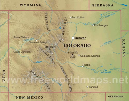
Colorado is one of only three states (the others are Wyoming and Utah) that have only lines of latitude and longitude for borders.
East of the Front Range of the Rocky Mountains are the Colorado Eastern Plains, the section of the Great Plains within Colorado at
elevations ranging from 1,000 to 2,000 m.
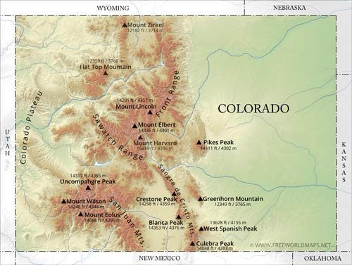
To the west lay the Front Range of the Rocky Mountains with notable peaks such as Long's Peak, Mount Evans, Pike's Peak.
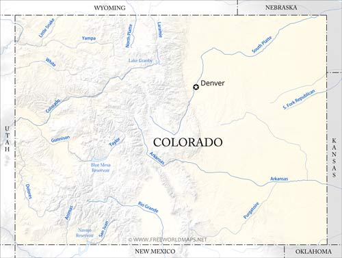
The Western Slope is generally drained by the Colorado River and its tributaries. Notable to the south are the San Juan Mountains,
an extremely rugged mountain range, and to the west of the San Juans, the Colorado Plateau,
a high desert bordering Southern Utah. Grand Junction is the largest city on the Western Slope.
Further east are the ski resorts of Aspen, Vail, Crested Butte, and Steamboat Springs. Denver is the capital of Colorado.
Physical map of Colorado
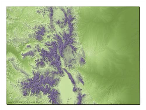
Physical map of Colorado, mountains, lakes, rivers and other features of Colorado
Click on above map to view higher resolution image
Physical features of Colorado
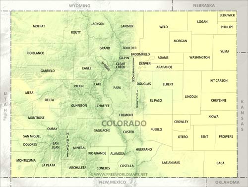
Other maps of Colorado
Check our other maps of the state of Colorado
Customized Colorado maps
Could not find what you're looking for? Need a customized Colorado map? We can create the map for you!Crop a region, add/remove features, change shape, different projections, adjust colors, even add your locations!


