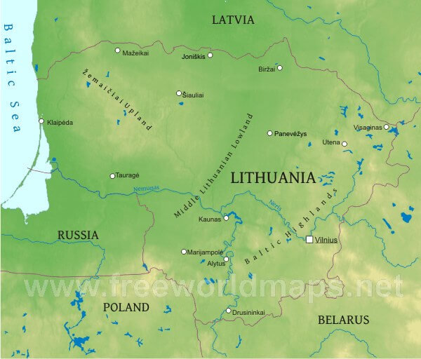
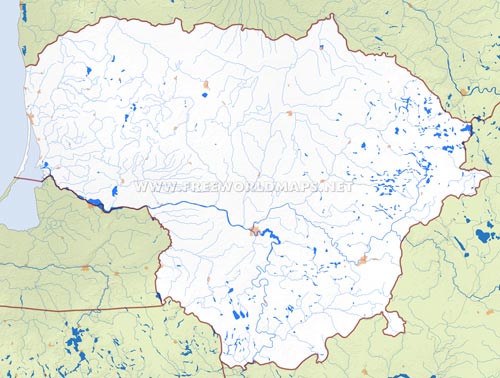
The southernmost of the three Baltic States, also the biggest in size, and the one with most population, lying at the geometric center of Europe, land of thousands of lakes, Lithuania, member of the European Union, whose main topography features are the alternating hilly uplands and flat lowlands.
Most of the area lies below 100 meters above sea level. The most prominent elevation is the Aukstojas Hill just staying below 300 meters, rising at the southeastern Baltic Highlands. The central and southern regions of the country are generally flat, the Middle Lithuanian Lowland and Southern Plain are home of numerous rivers and smaller lakes. The dominant river of these regions is the Neman (also called as Nemunas), which is also the longest in Lithuania, coming from Belarus.
A stunning geographic feature of the Baltic coast is the Curonian Spit, which is best described as a narrow, lengthy sand dune, isolating the Baltic Sea from the Curonian Lagoon. It also stretches over to Russia's Kaliningrad region. This thin piece of land is about 50 km long (in Lithuania) its width alternates between a few hundred and a few kilometers. Its are has been established as the Curonian Spit National Park to safeguard the ecosystem of this unique masterpiece of nature.


