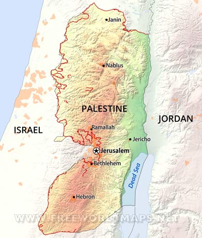
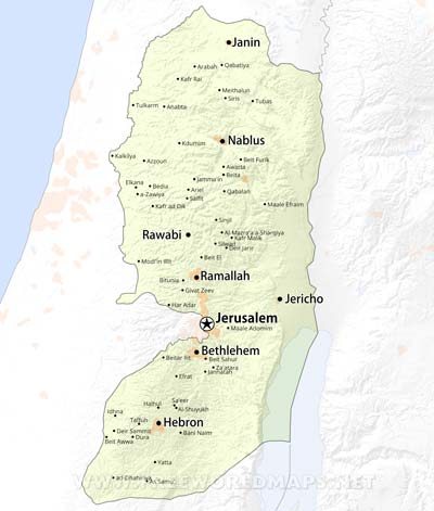
West Bank map

West Bank map

Map of West Bank

Click on above map to view higher resolution image

West Bank is a region in the Middle East, nested between the state of Israel and Jordan, north of the Dead Sea. The territory belongs to the partially recognized state of Palestine, together with the Gaza Strip.

The central and western parts of the region is quite mountainous, the Judean Mountains are stretching in a north-south direction throughout the region. Mount Nabi Yunis is the highest elevation spot, just getting above the 1000 meters mark. The eastern side of the region is a flat valley of the Jordan river, which drains into the Dead Sea at the southern tip of the West Bank map.

Related maps

West Bank location map
Where is West Bank located? Map showing the location of West Bank
Israeli West Bank barrier
Map of the West Bank showing the Israeli West Bank barrier
West Bank cites and towns
Cities and towns of the West Bank (Palestine)

Customized West Bank maps

Could not find what you're looking for? Need a customized West Bank map? We can create the map for you!
Crop a region, add/remove features, change shape, different projections, adjust colors, even add your locations!
Custom map services
World map illustrator
US map illustrator SVG