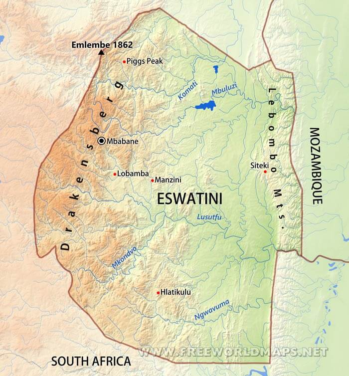
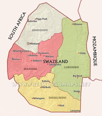
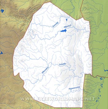
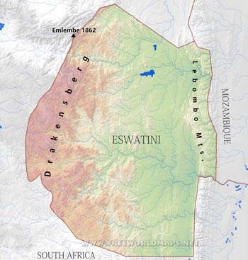
Swaziland, one of the smallest countries in Africa, is found at the southeastern territories of the African continent, nested between South Africa and Mozambique. There are four prominent geographical feature throughout the country.
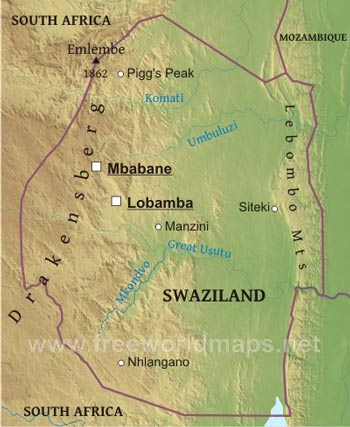
The Lubombo Mountains mark the eastern border to Mozambique. They are a relatively low lying mountain ranges, which are also dissected by the major rivers of the country, which flow from west to east to be drained into the Mozambique Channel after cutting through Mozambique's land as well.
The Highweld occupies the western parts of Swaziland map, rising to higher altitudes, being also part of the Drakensberg range of South Africa. The highest peak of Swaziland is located in this range, called Emlembe, reaching roughly 1860 meters on the northwestern South-African border.
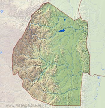
The next region is the Midleveld, which covers around one fourth of Swaziland's map, especially the central regions. This area is a mixture of moderate hills and river valleys between them.
The lowest elevated and flattest part of the country is called the Lowveld, nested between the Libombo Ranges and the somewhat higher Midleveld. The lowland is basically flat with only some very gentle hills, and many stream and rivers flowing in an eastwards direction towards the Mozambique Channel.
The four major rivers of Swaziland, all flowing from the western mountainous areas eastwards through the Lowveld are the Komati river, Mbuluzi river, Lusutfu river (also called as Maputo river), and Ngwavuma River.

