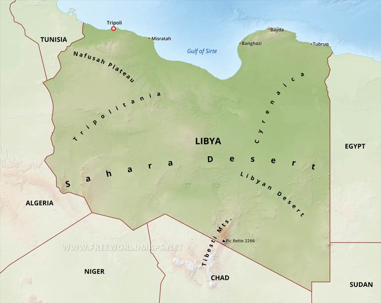
Libya Physical Map
Physical map of Libya, equirectangular projection
Click on above map to view higher resolution image
Libya physical features
Libya is situated on the Mediterranean coast of North Africa.
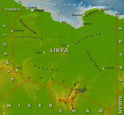
There are three mountainous regions: the low Jebel Nefusa range in the north west, the Jebel Akhdar (the Green Mountains) in the north east behind Benghazi and the Tibesti Mountains, the highest of the three on the southern border with Chad, where the highest point of the country is also located (Bikku Bitti at 2266 meters).The capital is Tripoli which is also the largest city and one of the country's two major ports.
Banghazi is the other major port.
Other maps of Libya
Customized Libya maps
Could not find what you're looking for? Need a special Libya map? We can create the map for you!Crop a region, add/remove features, change shape, different projections, adjust colors, even add your locations!


